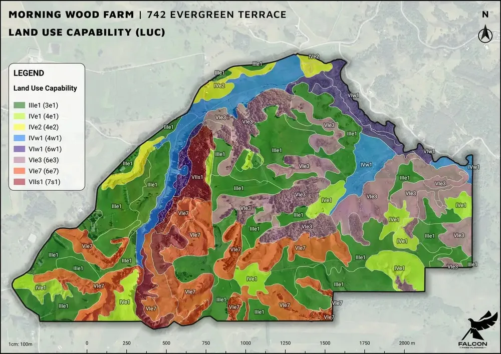
Farm-scale Land Use Capability (LUC), Land Resource Inventory (LRI) and Soil Mapping fit for any farm or orchard plan.
- We are highly skilled in LUC and LRI mapping, and have a proven track record of delivering high quality maps.
- Farms are mapped according to their land use intensisity and the purpose of the farm plan.
- In general, the more intensive the land use, the more detailed the mapping.
- Sheep & beef ~ 1:10,000 - 1:15,000
- Dairy ~ 1:7,500 - 1:10,000
- Intensive Arable ~ 1:5,000 - 1:7,500
- Horticulture ~ <1:5,000
- Regional maps are usually 1:50,000 and not fit for farm planning purposes.
- Land Resource Inventory (LRI) includes:
- Geology
- Soil
- Slope
- Vegetation
- Erosion
- Each component of LRI comes with it’s own unique map.